RIDE
Routes and Maps
Chose your distance! You can move along our 20-, 45- or 62-mile rides. No matter which you choose, you will enjoy great views and fully stocked rest stops.
Please note: On all routes roads, will be open to local traffic. Everyone must wear a helmet and follow the rules of the road. All routes start and finish at Georgia State’s Center Parc Stadium but may change slightly due to road conditions on event day. All riders will receive the same level of support throughout their ride.
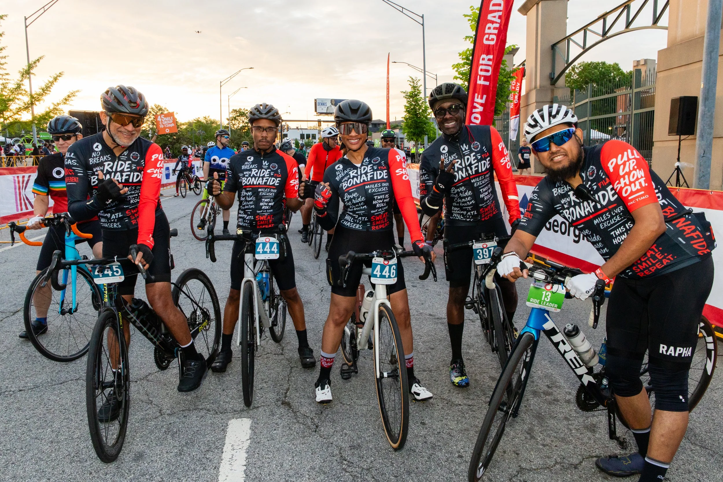
We are partnering with Big Peach and Bonafide Riders Cycle Club to offer pace group options to Move For Grady cyclists. There will be three pace groups available for all ride distances to support a safe and enjoyable experience:
B1: 15-17 miles per hour
B2: 12-15 miles per hour
C: 10-12 miles per hour
To keep you safe and ensure the best Move For Grady riding experience, the 62-mile course requires a minimum pace of 12 mph average. To complete the 62-mile course, you must arrive at the South Fulton Fire Station rest stop at mile marker 23 by 9:30 a.m. Those reaching that point after 9:30 a.m. will be rerouted to the 45-mile course.
20-mile ride
Our 20-mile cycling route starts and ends at Georgia State’s Center Parc Stadium and heads west and south towards East Point and College Park. This is an urban route. We recommend doing some intown training and familiarity with the rules of the road for cyclists.
Our 45-mile cycling route starts and ends at Georgia State’s Center Park Stadium and heads west and south through East Point and College Park towards Union City. Portions of the ride are in urban areas. We recommend doing some intown training and familiarity with the rules of the road for cyclists.
45-mile ride
Our 62-mile cycling route starts and ends at Georgia State’s Center Park Stadium and heads west and south through East Point and Union City, taking you into Chattahoochee Hills. Portions of this ride are in urban areas. We recommend doing some in-town training and familiarity with the rules of the road for cyclists.
To keep you safe and ensure the best Move For Grady riding experience, the 62-mile course requires a minimum pace of 12 mph average. To complete the 62-mile course, you must arrive at the South Fulton Fire Station rest stop at mile marker 23 by 9:30 a.m. Those reaching that point after 9:30 a.m. will be rerouted to the 45-mile course.
62-mile ride
Here for a healthier Atlanta
By participating or donating, you strengthen Atlanta’s health care system, support economic stability, and help our community thrive.